Boston Harbor Islands Map
Boston Harbor Islands Map
Couldn't load pickup availability
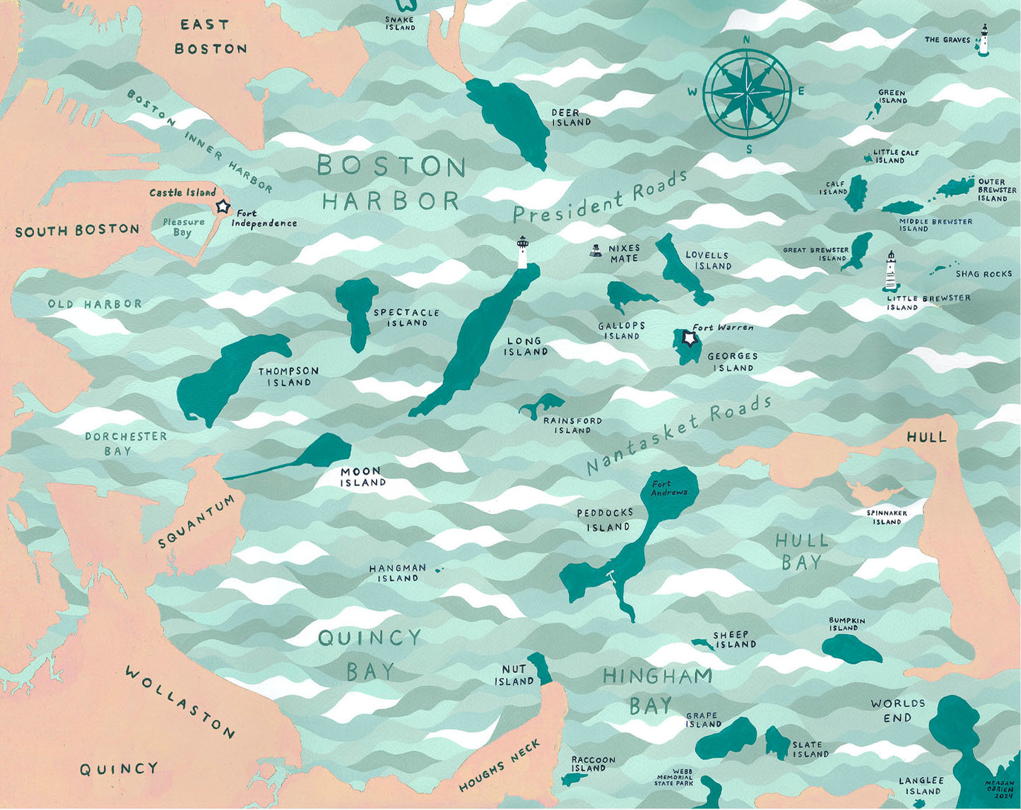
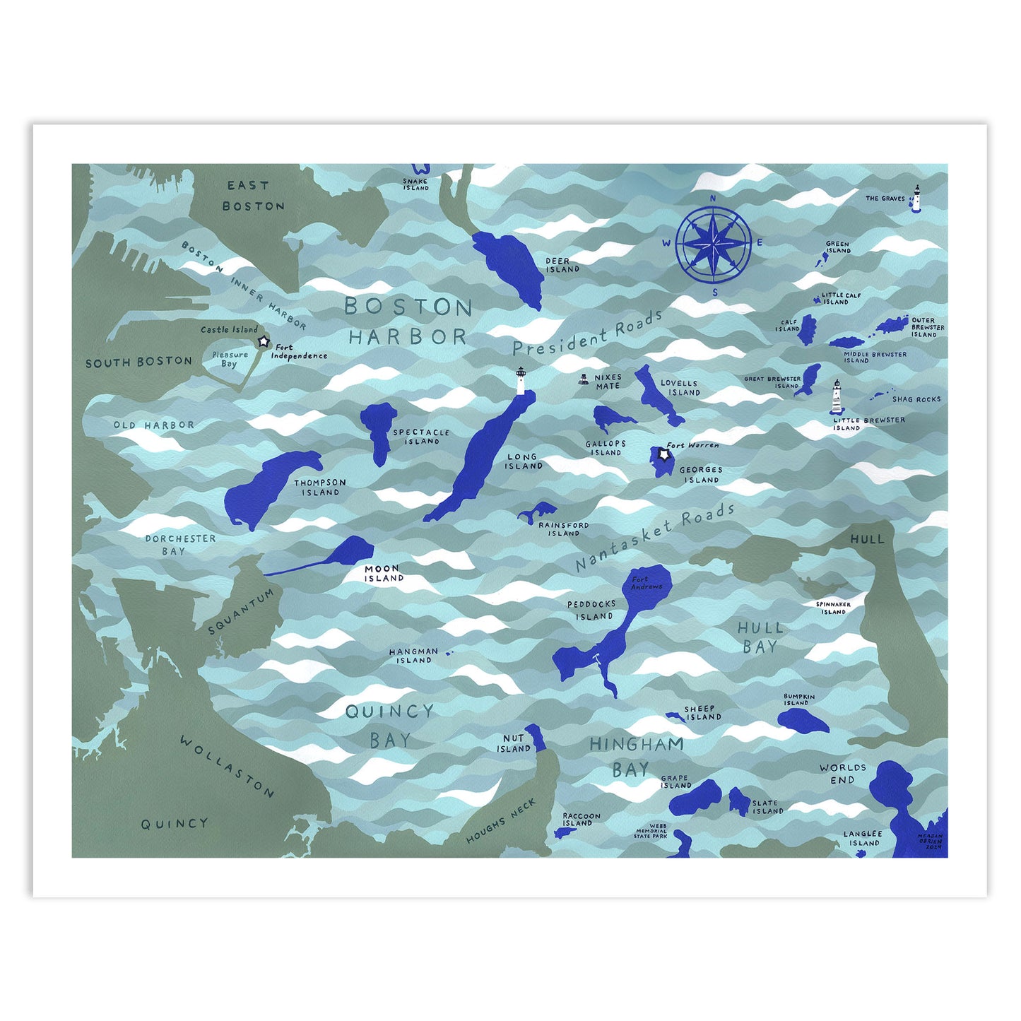
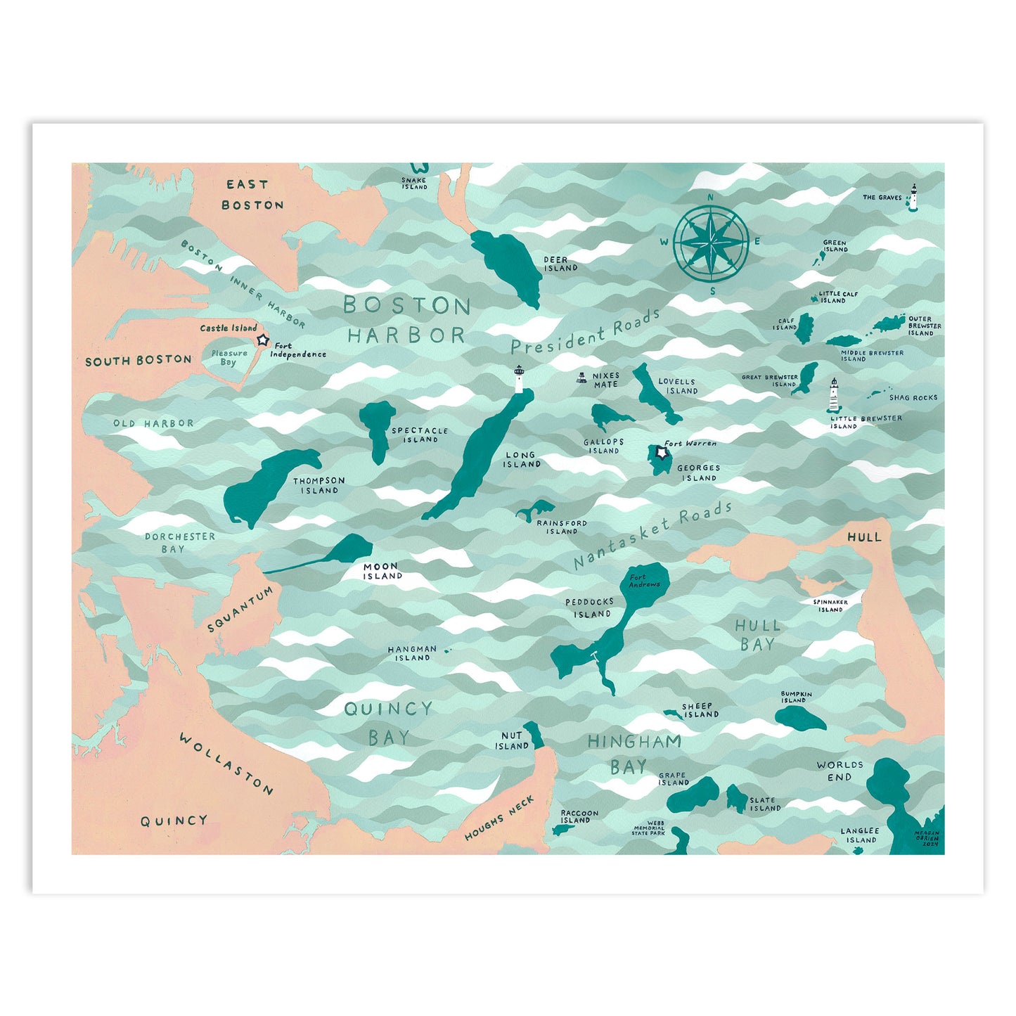
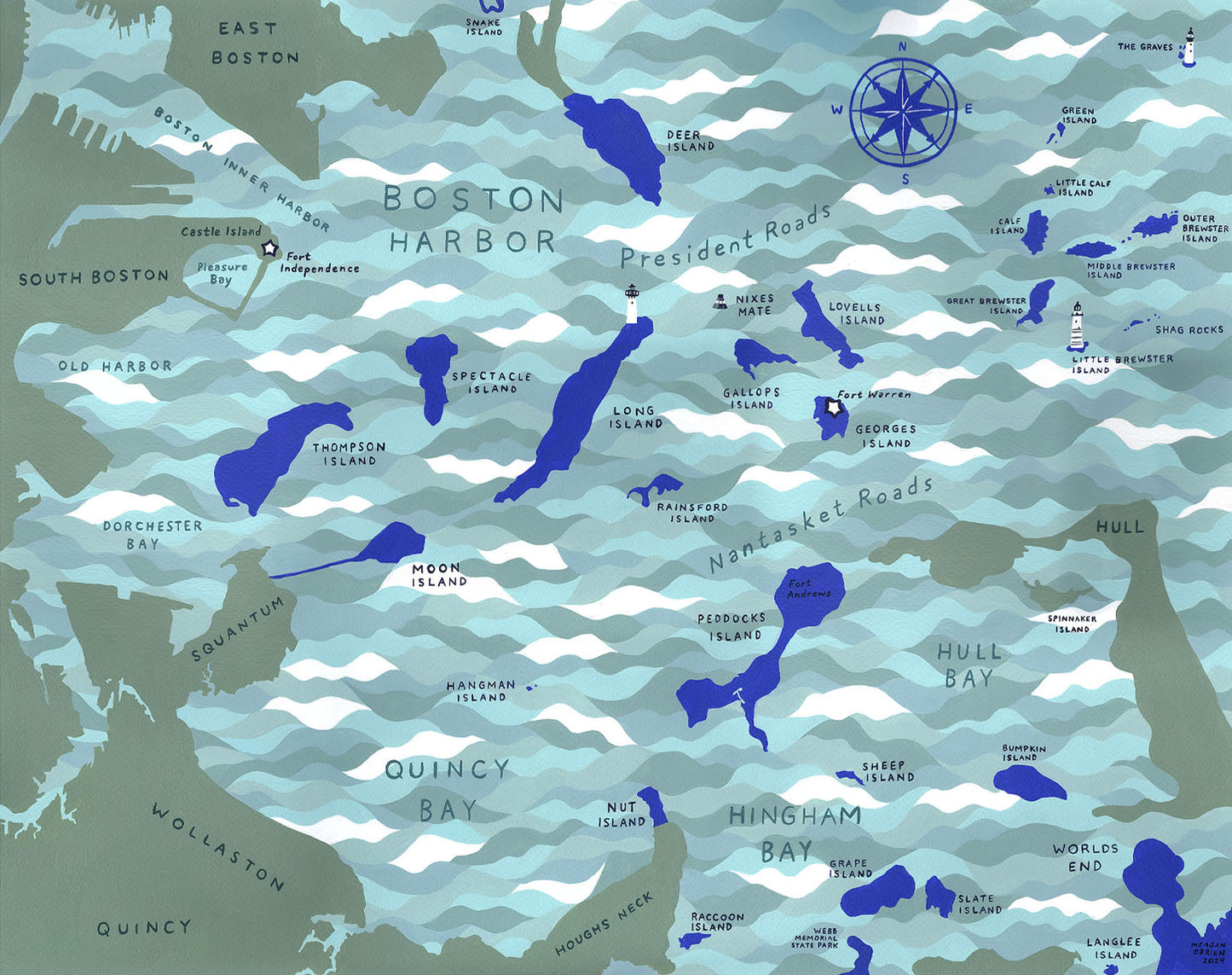
This Boston Map features the Boston Harbor Islands in shades of blue. This is the perfect gift for sailors, boat owners, and Boston Seaport lovers. A variation on the map features the land in pink and islands in turquoise. This map includes Quincy Bay, Hull Bay, Hingham Bay, Dorchester Bay, Nantasket Roads, and more. It also features Long Island Lighthouse, Peddocks Island, Thompson Island, Worlds End, The Graves Lighthouse, Fort Warren, Nixes Mate, Little Brewster Island Lighthouse and more.
This art print was done on Mohawk Recycled 100# Cover Textured Matte paper to give it a fine art feel. Original art was made using acrylic paint on paper.
* Printed on Mohawk Recycled 100# Cover Textured Matte paper.
* Every print will arrive wrapped in plastic with a backer board.
* Sold unframed. Previews with frames are for illustration purposes only.
Available Sizes
* Art Print Sizes: 5”x7”, 8”x10" and 11"x14"
* Framing: 5”x7” are sized to be framed with a mat. For easy framing 8”x10” and 11”x14” prints are sized to be framed without a mat.
Due to lighting and different devices you might be using, the color in the image may vary slightly from the actual color of the print.
Share
